A group of United States and Philippine Air Force service members poses for a group photo after concluding a two-week Subject Matter Expert Exchange, Clark Air Base, Philippines.
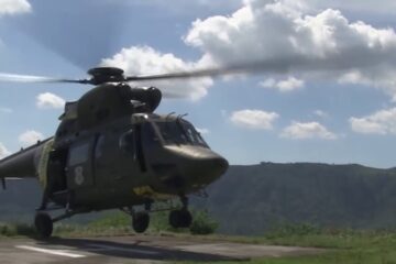
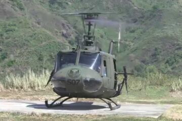
During this Air Contingent rotation, the Hawaii Air National Guard’s 154th Wing and soldiers from the U.S. Army’s 5th Engineer Detachment Geospatial Planning Cell and 500th Military trained alongside Philippine airmen to employ the Eagle Vision satellite system for disaster relief operations. Military planners use the Eagle Vision system to acquire satellite imagery to aid the planning of military operations to include disaster response.
Throughout the SMEE military members from both nations trained together using satellite imagery provided by Eagle Vision to enhance their combined readiness when conducting Humanitarian Assistance and Disaster Relief operations common in the Asia-Pacific.